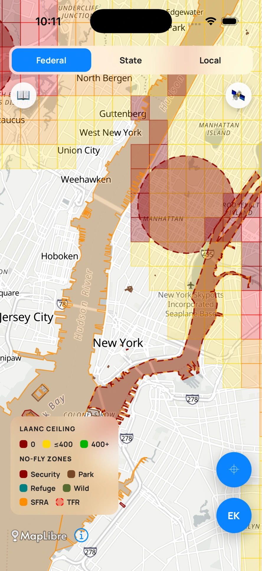
LAANC ceilings, live TFRs, security zones, national parks, refuges, wilderness, stadium event zones, and Part 93 SFRAs.
Plain-English rules for registration, Remote ID, and the 250 g threshold.

Every airspace restriction in the USA, federal, state, and local, in one tap before you launch.
Every airspace restriction in the USA, federal, state, and local, in one tap before you launch.
The first app to combine every layer of US drone law in one place, so you stop cross-checking five sources before every flight.
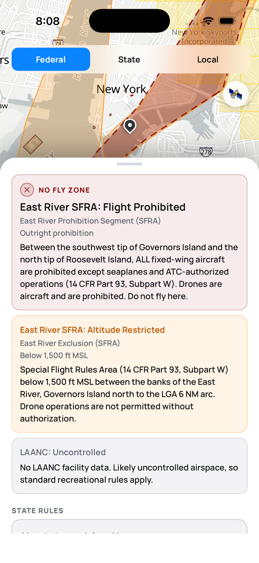
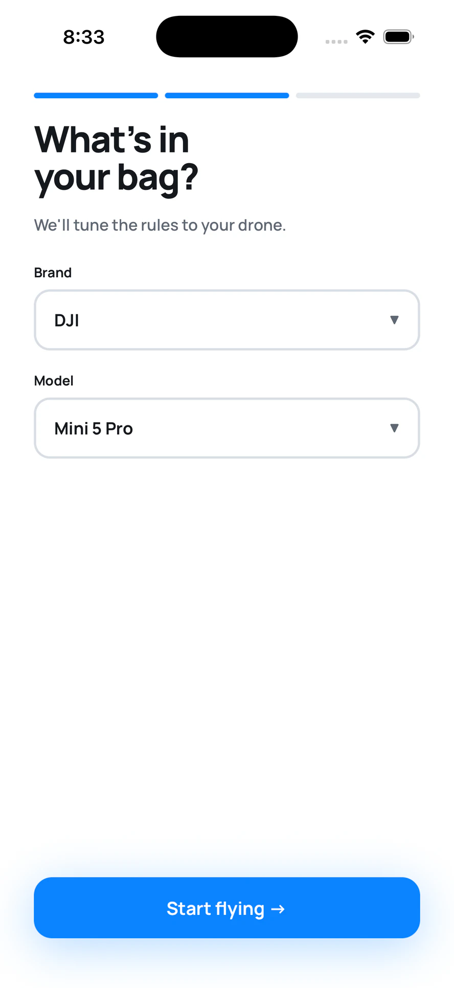
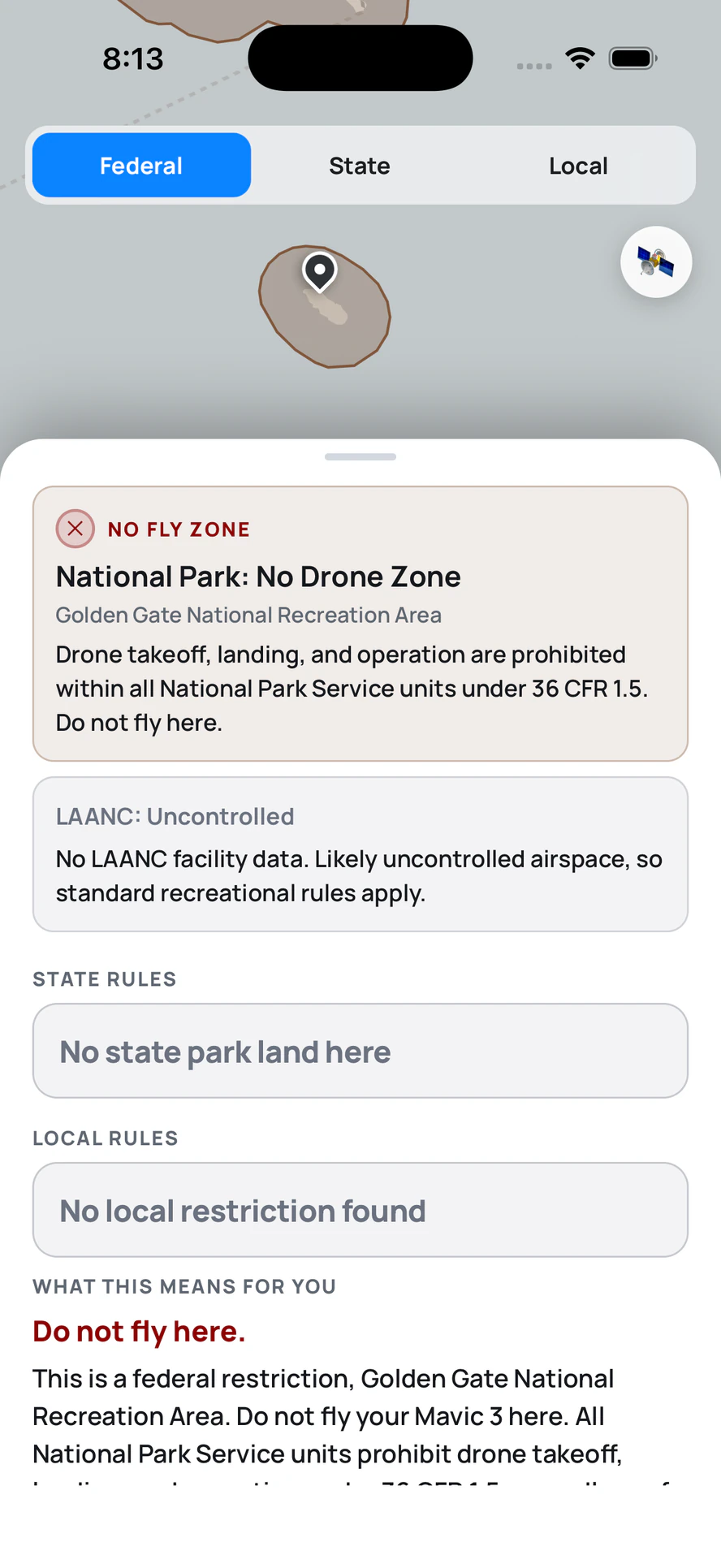
Other apps stop at federal. AirClear is the first to combine federal, state, and local restrictions in a single answer.
LAANC ceilings, live TFRs, security zones, national parks, refuges, wilderness, stadium event zones, and Part 93 SFRAs.
Plain-English rules for registration, Remote ID, and the 250 g threshold.
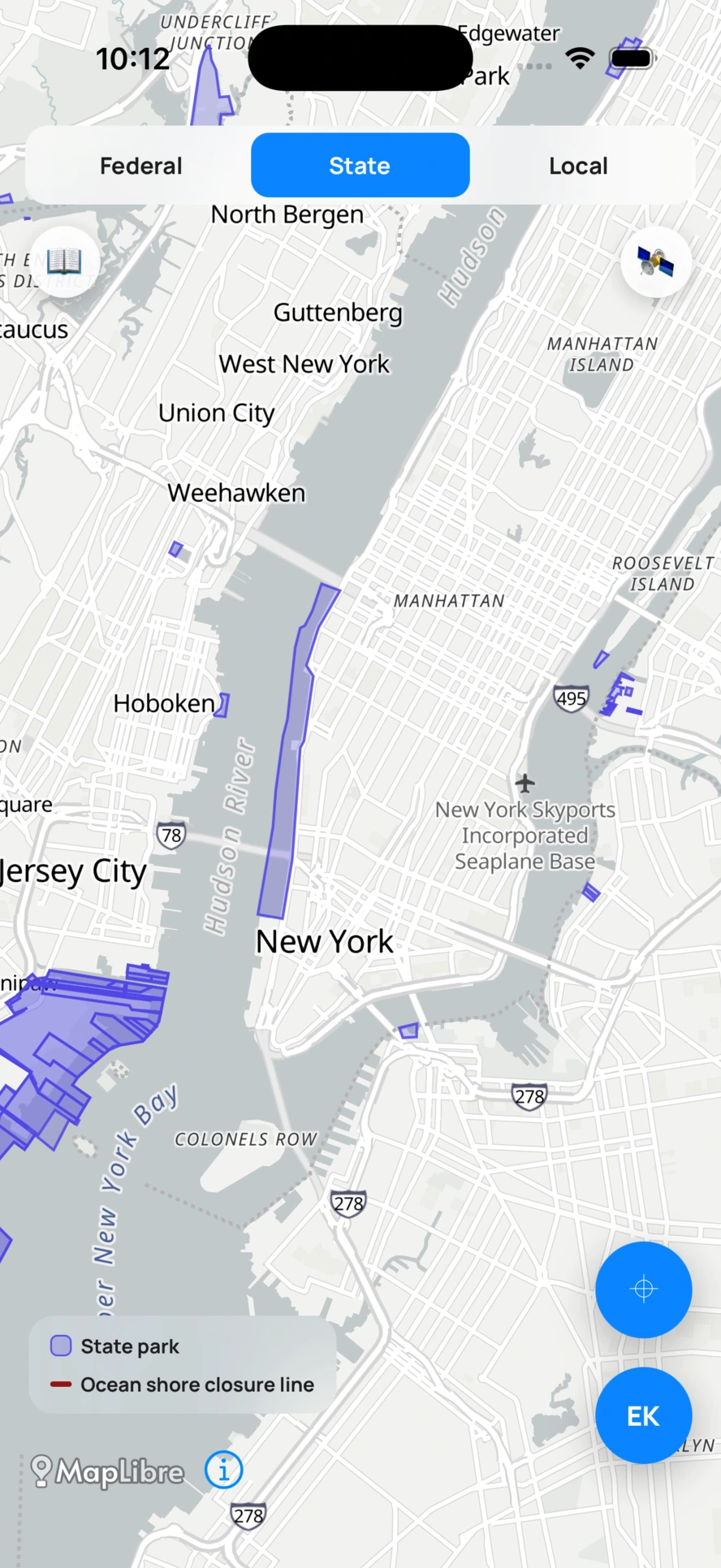
State park and recreation land, drawn to the boundary.
Written drone law for all 50 states, DC, and the territories: privacy, infrastructure, hunting, and preemption.
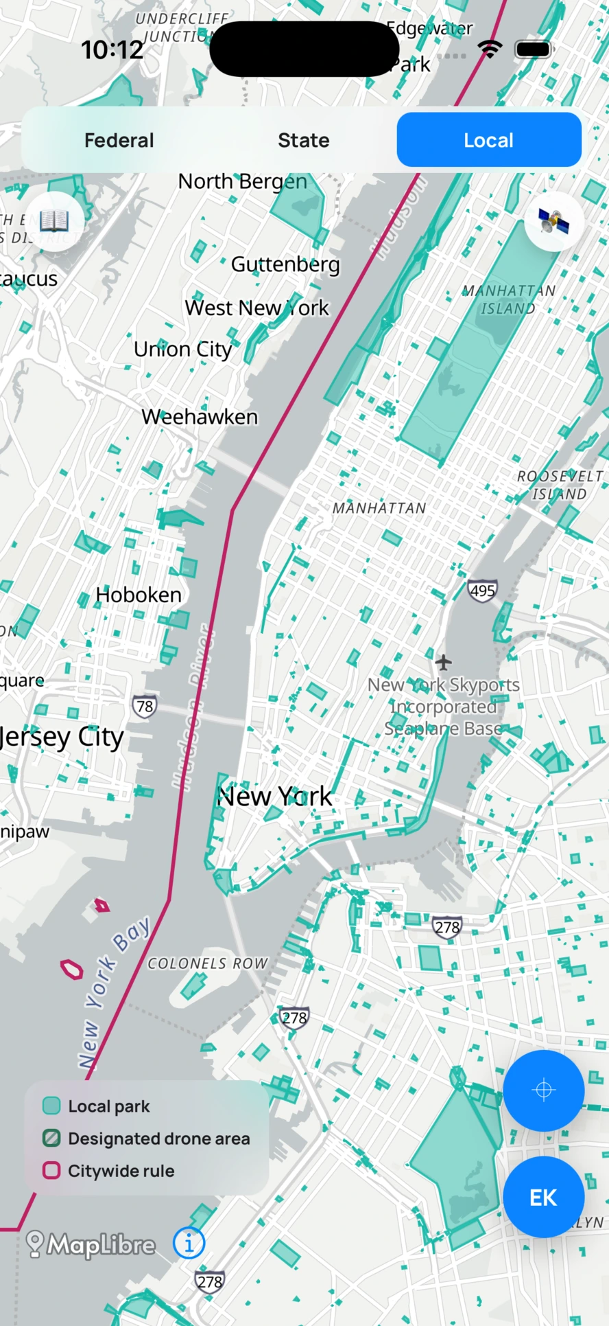
City, county, and park district land, the layer every other app skips.
Citywide ordinances for verified cities, with the permit path.
Join the waitlist and we will email you the day AirClear is ready to fly.